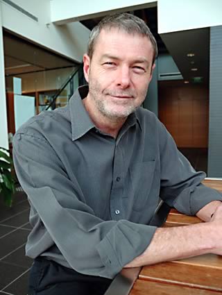
Dr Alan Seed: radar research leader
10 October 2012
Light bulb moments can happen any time. For Bureau scientist Dr Alan Seed, one came during a quiet afternoon at home around the time of the Sydney Olympics, and it has led to a project that is currently exploring how radar can improve rainfall forecasting.
Dr Seed's pioneering work in radar rainfall estimation and forecasting is known worldwide. His research is central to the Bureau's Strategic Radar Enhancement Project which involves extending the Bureau's existing radar network and using radar data in high-resolution numerical weather prediction.
A core part of the project is improving rainfall nowcasting—forecasting rainfall over a few hours covering a range of a hundred kilometres from the radar at a one-kilometre, ten-minute resolution.
Developing the Short Term Ensemble Prediction System (STEPS)
Large areas of rainfall persist for some time and can be forecast. However, smaller areas of rainfall last only a short time and are not forecastable after 20–30 minutes.
'The idea is to break the rainfall pattern into a series of patterns of different-sized raining areas and treat each raining area separately—that way we can not only predict rain, but we can predict forecast accuracy' said Dr Seed.
That's where STEPS comes in. That afternoon 12 years ago, after convincing himself that he had a valid idea, Dr Seed began sketching out a plan for how the system we now know as STEPS could be used to improve nowcasting.

Dr Alan Seed
To develop nowcasting internationally, Dr Seed's team is involved in ongoing collaboration with other meteorological agencies, including the UK Met Office and MeteoSwiss. They are looking at the role of topography in forecasting, and how to predict where storms will occur, based on wind direction and the location of mountains.
Dr Seed's journey
After an undergraduate degree in Civil Engineering at the University of Natal in South Africa, Dr Seed focused on hydrology during his masters degree. His research looked at the spatial distribution of rainfall in mountains. Increasing curiosity about rainfall and flood forecasting led him to Canada to complete a PhD in radar rainfall estimation, and work in flood forecasting in South Africa and New Zealand.
In the late 1990s, Dr Seed made the move to Melbourne, where he started work at the Cooperative Research Centre for Catchment Hydrology. He has worked for the Bureau since 1997, pursuing his passion for using radar data in hydrology. Dr Seed leads the radar applications team at the Centre for Australian Weather and Climate Research.


Comment. Tell us what you think of this article.
Share. Tell others.