Australia's ski season 2020: what's in store?
17 July 2020
Australia's ski season is finally underway, although COVID-19 restrictions mean this winter looks a little different than usual at resorts. But, what can we expect in terms of snow cover this season?
This year's ski season has already been a departure from normal, with resorts opening 2–3 weeks later than the traditional opening date on the Queen's birthday long weekend in June. COVID-19 aside, the key factor in any good ski season is, of course, snow! The real season begins when enough snow falls and stays on the ground—in the past, early and late snowfalls have allowed resorts to open earlier, or stay open later beyond the traditional early October end date.
Australian snow seasons are highly variable, both in the total snow accumulation over the season, as well as snow conditions throughout the season. Early snowfalls aren't an indication of a good season to come, as it's not unusual for it to snow in autumn (and even summer!) in the Australian Alps. Generally, it's not until June that temperatures start to be cold enough to stop the snow from melting.

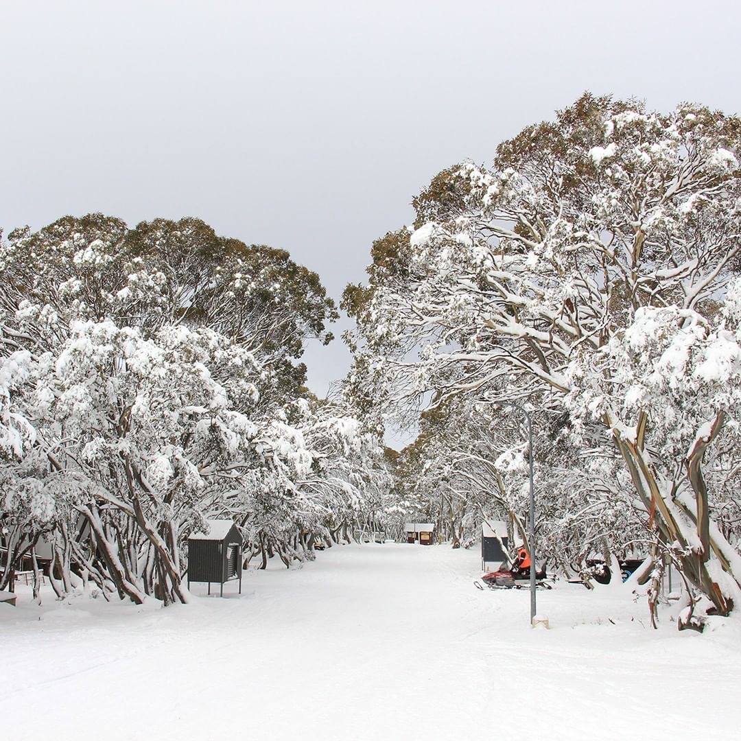
Image: Snowfall at Mount Hotham, Victoria, mid-June 2020. Credit: Deanna Wang
Climate influences
Australian climate drivers such as the El Niño-Southern Oscillation (ENSO), Indian Ocean Dipole (IOD), and Southern Annular Mode (SAM) can influence our climate and snow conditions. Additional moisture from the tropics is a double-edged sword; on one hand, if weather conditions are right, it could produce lots of snow, but if it's not cold enough it can mean rain instead of snow, washing away any existing snow.
On the flip side, drier-than-average conditions can mean there's not as much moisture, and therefore less snow. But, the clearer skies bring cooler overnight temperatures which make for great snow-making conditions, and also ensures existing snow won't be washed away.
Interestingly, Australia's more reliable snow seasons have been while our climate drivers have been inactive—not favouring either wetter or drier-than-average conditions.
Video: Understanding the Southern Annual Mode (SAM)
The start of the ski season in June was influenced by a positive SAM. This made for good snow-making conditions with clearer skies, however it also contributed to drier conditions, resulting in only 21.6 cm of snow recorded at the Snowy Hydro site at Spencers Creek at the end of June. (Spencers Creek sits between Charlotte Pass and Perisher Valley in New South Wales, some 1829m above sea level. It’s been the gold standard for Australian natural snow depths since the Snowy Hydro began taking measurements back in 1954).
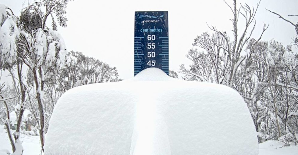
Towards the end of June, a brief dip into negative SAM meant more favourable conditions for winter storm activity, which brought some much-needed snow to alpine areas. A return to negative SAM values in the second week of July brought a second delivery of snow, with over half a metre of snow reported in some resorts.
Later in the season, the Bureau's seasonal outlook suggests wetter-than-average conditions are likely with warmer temperatures, due to the potential development of La Niña in the tropical Pacific Ocean. This may make for more variable conditions with some good snow dumps, but possibly rain. Currently, the majority of models anticipate cooling in the Pacific will come close to the threshold for La Niña by early spring.
A great way to keep up to date with the evolving climate drivers and outlook is on our climate outlook and influences website. You can also subscribe to receive the Bureau's Climate Information.

Image: heavy snow at Perisher, NSW, mid-July 2020
Best time to go
Climate influences aside, maximum snow depth is generally reached in August or September. But, snow enthusiasts will tell you that the quantity of snow does not always guarantee its quality. Colder daytime temperatures and less humidity (which are statistically more likely earlier in the season) may lead to better snow than warmer spring-time conditions later in the season. Others prefer the warmer and calmer conditions in early spring and the tail end of the season. Or a little bit of both!
The quality of the snow can also be affected by dust (which increases the amount of heat snow absorbs from sunlight) or rain (which can soften or wash away the snow).
Ultimately there's no way to exactly predict the weather or snow more than a week in advance of your trip so come prepared for a wide range of conditions. If you're planning a trip to the snow, keep a close eye on the forecast, including for weather that could lead to hazardous driving conditions in alpine areas.
More information
- Don't be left out in the cold—weather safety in Australia's alpine regions
- BOM Weather Guide: Snow(short video)
- Snow alert: How to make sure you stay on top of the snow this ski season
- Winter weather: what you need to know
- Ten tips for a more detailed weather forecast
- MetEye – your eye on the environment(short video)
- Explainer: avalanches


Comment. Tell us what you think of this article.
Share. Tell others.